Sandboxes
 01
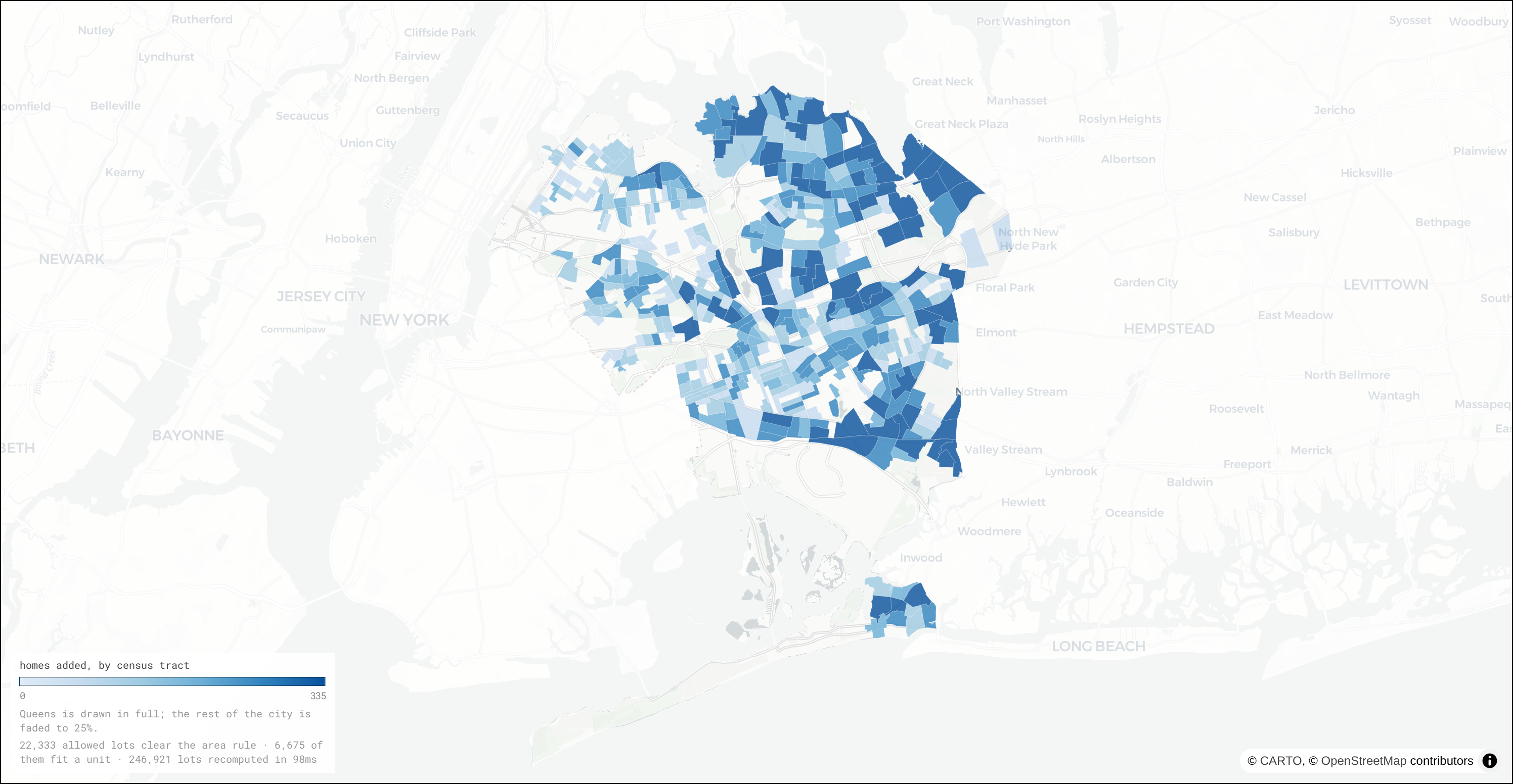
01ADU Forecast for Queens
Forecast of how many backyard homes one city program could add to Queens, and where.
 02
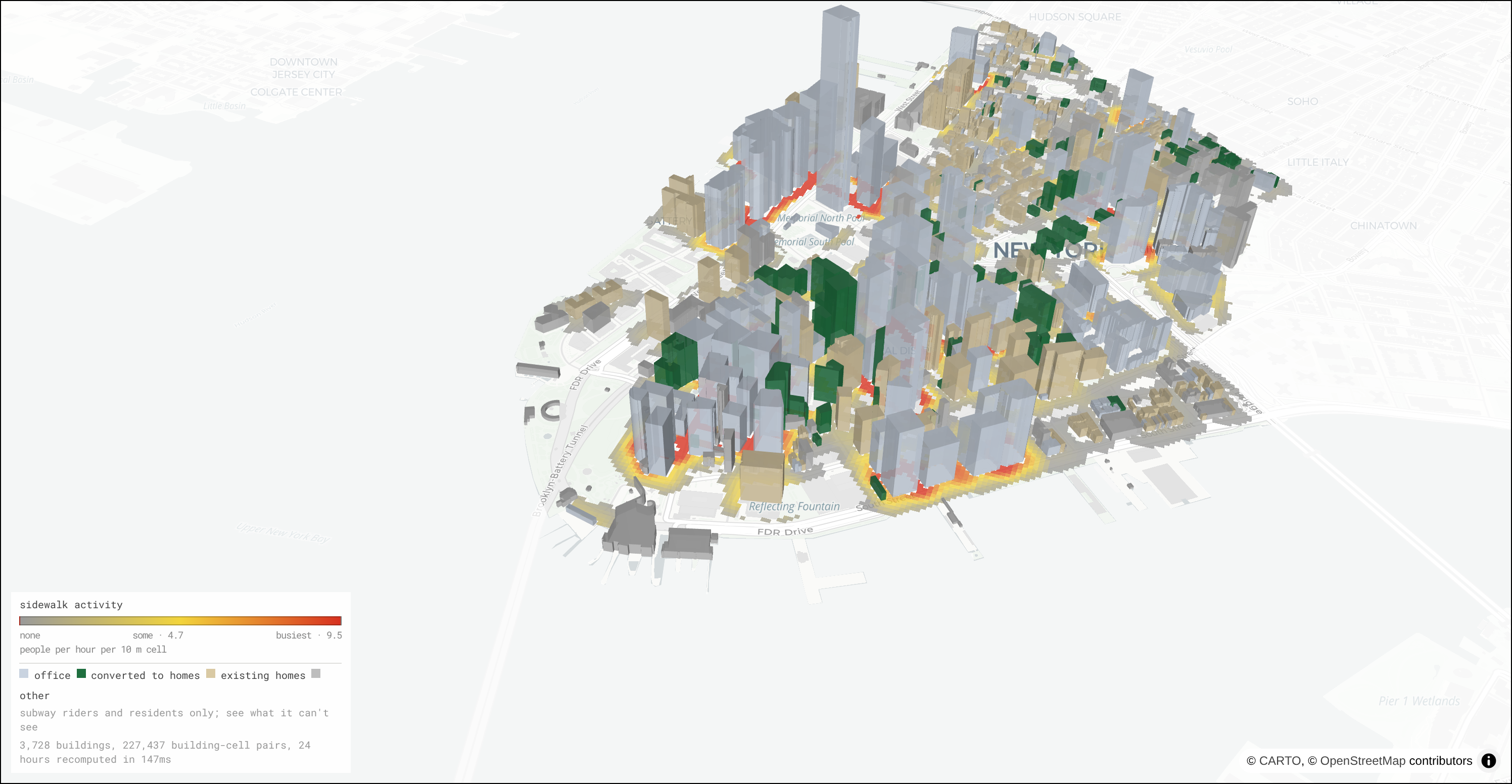
02Office to Residential Conversion
Visualization of street-level activity under different scenarios of office to residential conversions.
 03
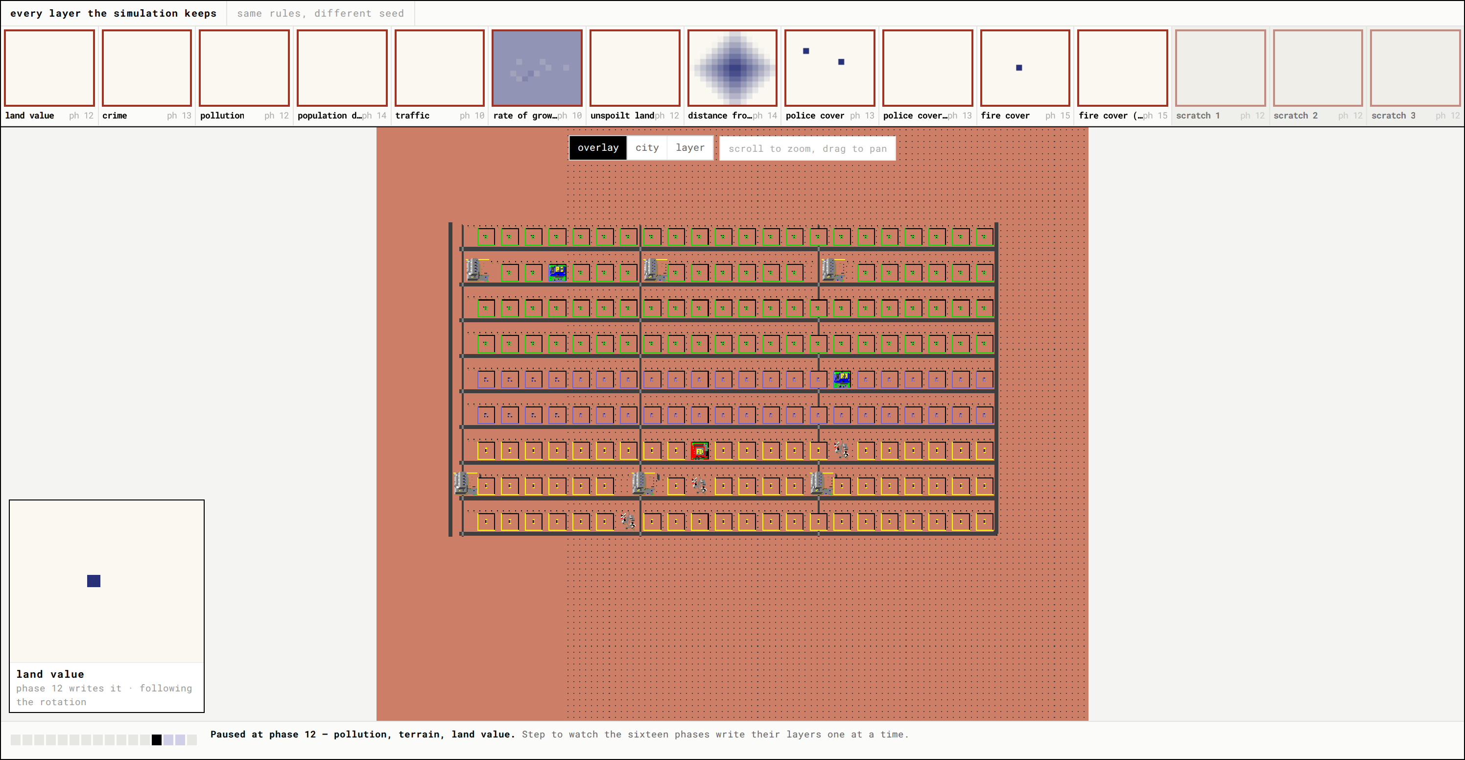
03A City Simulator, Opened Up
The original SimCity engine, with the maps it keeps about the city drawn as they update and the numbers behind its rules turned into sliders.
 04
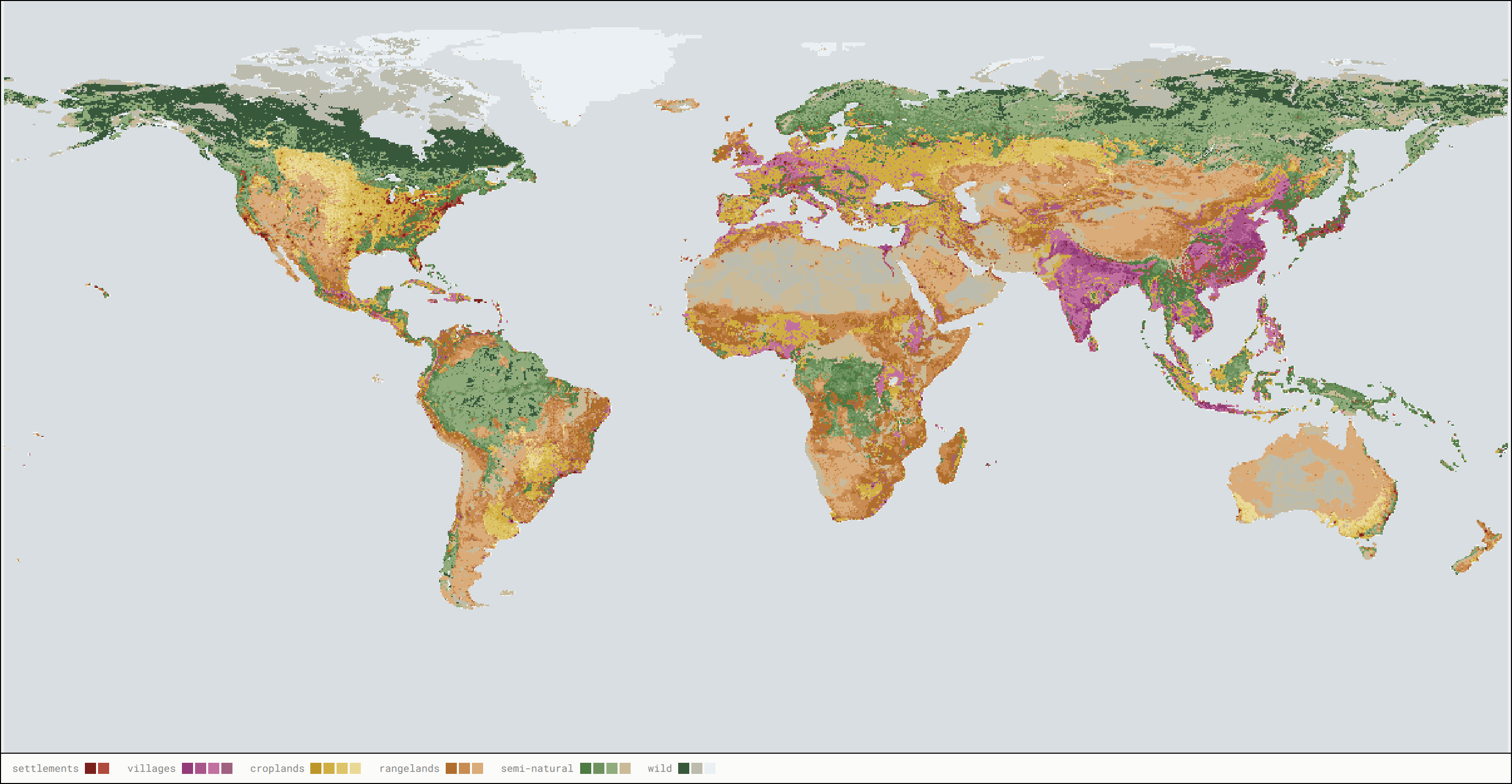
04Anthromes
Land use from 10,000 BC to 2017, classified in the browser, with the classification's thresholds as sliders.
 05
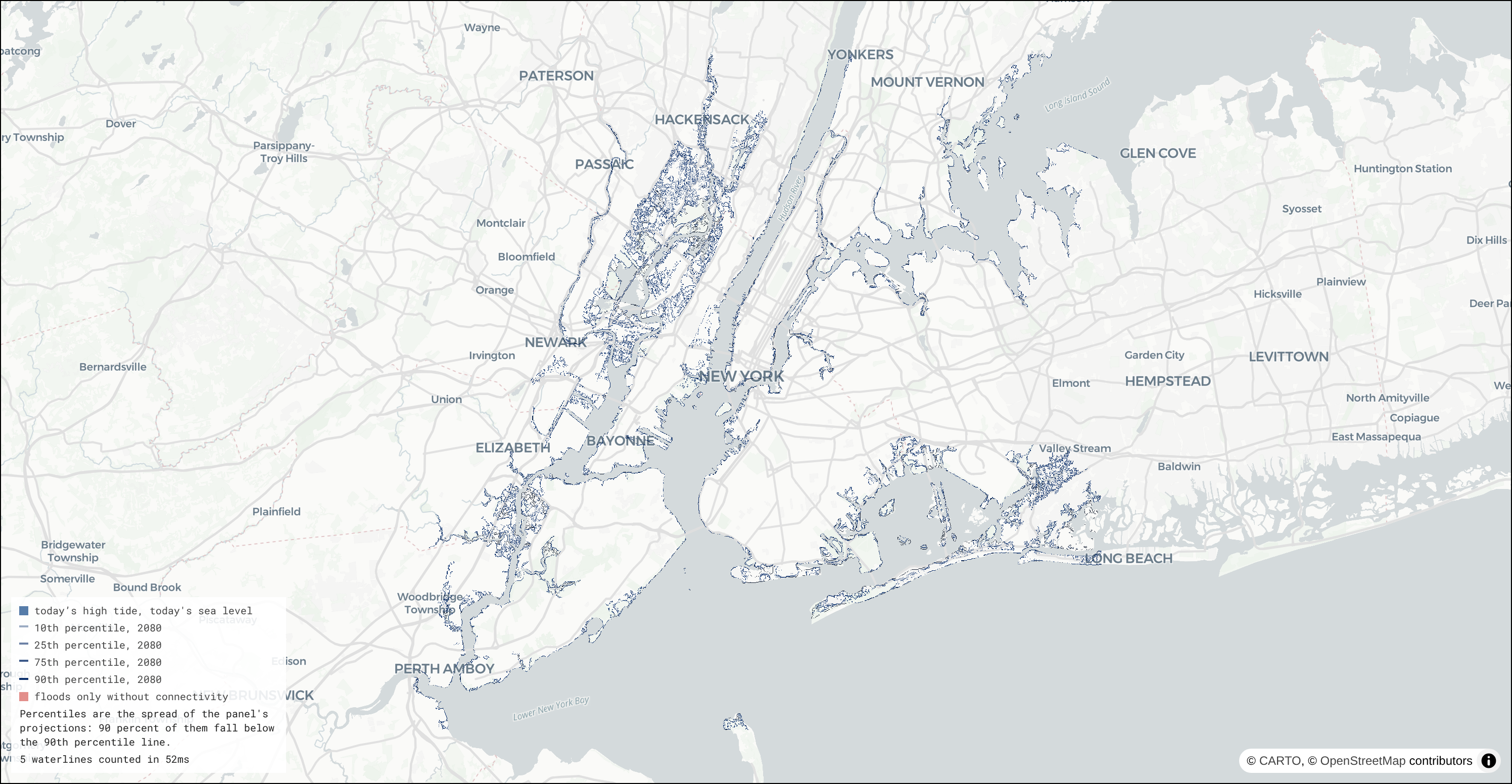
05Sea Level Flood Map
A flood map of New York that draws the full range of the city's sea level projections instead of picking one.
 06
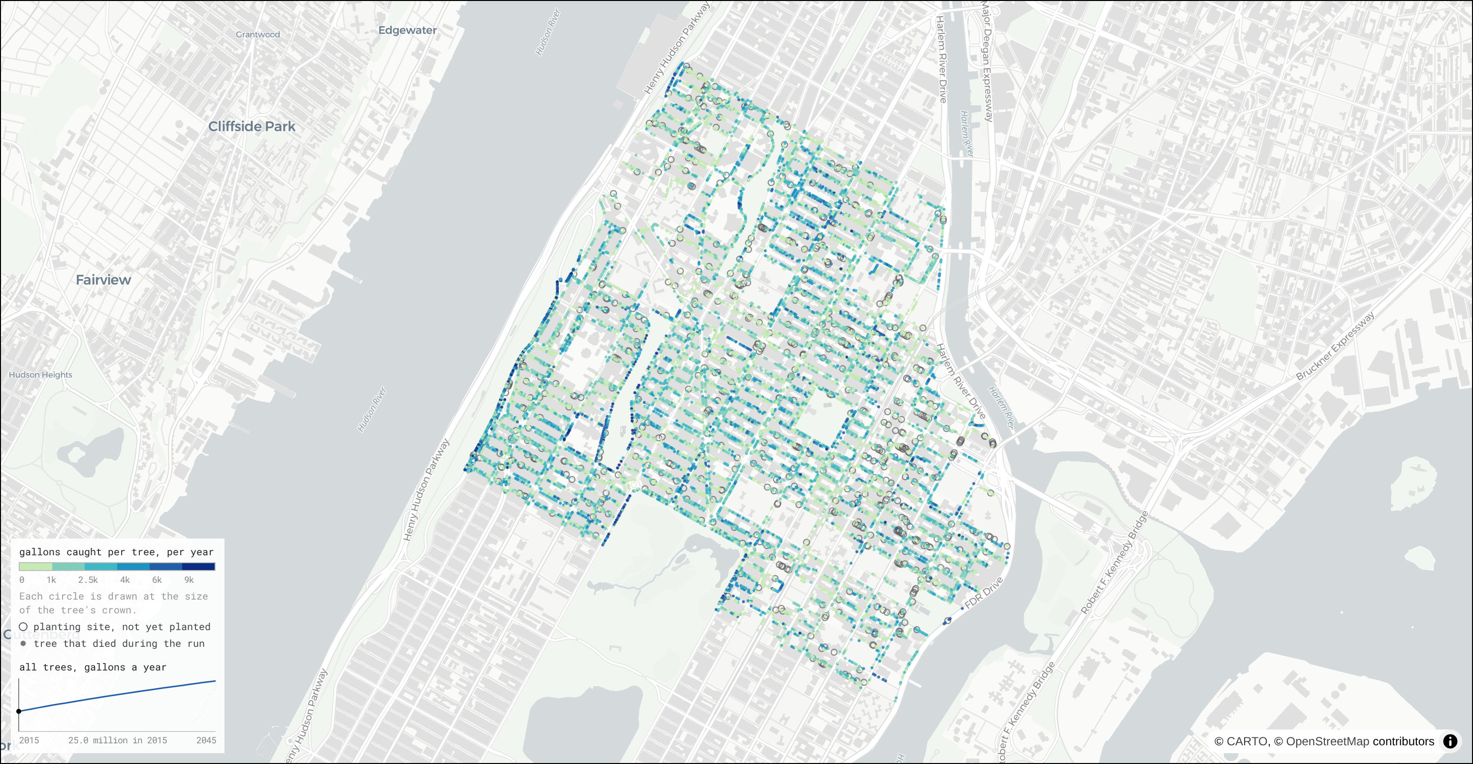
06Street Tree Stormwater
A demo of the Tutorial 4 sandbox: how much rain the street trees of upper Manhattan catch each year from 2015 to 2045.